Wednesday, January 9, 2019

The Peaks of Mt. Batolusong

Batolusong. Do you know what it means? I always made it a habit to look into the origin of the name of places that I have been to. Be it a land form or a body of water, it gives me fulfillment and answers as to where and why a place has existed. According to our guide Mt. Batolusong has derived its name from a big rock, shaped like mortar found in the thickly forested area of Sierra Madre. "Lusong" is mortar in english, a vessel used to pound and ground substances like rice and other grain products and it makes sense. So now that I know, I am happy and I will continue my blog about my climb in Mt. Batolusong.


Sea of clouds in my mind. Sunrise...where are you?

Passed by rice paddies at the foot of the mountain.

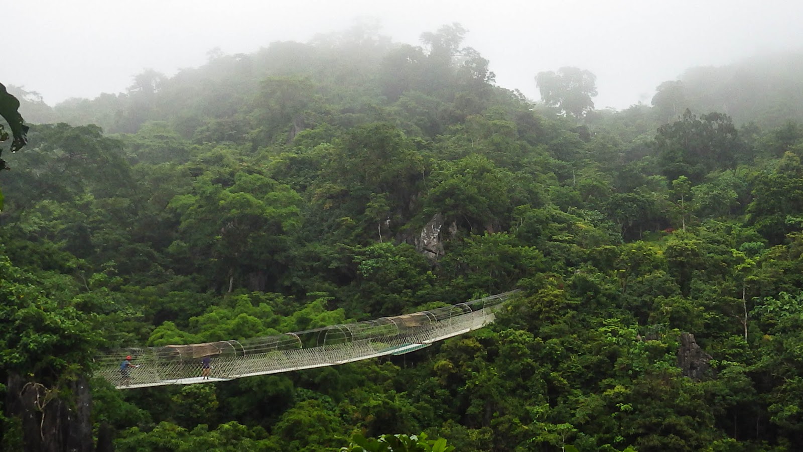
December 2018, I went along with someone with itchy feet to climb Mt. Batolusong, which is situated in Tanay, Rizal.This would be my first climb in the ranges of Sierra Madre so I had to find out how to get there. Since the weather that whole week was fine, we went on thinking that it would be a pleasant day and trail is dry... it's not. It started to drizzle as we approach the jump off point! We registered at the tourism office, hired a guide and waited for the rain to stop. I was really looking forward for the sea of clouds during sunrise but unfortunately there's none.

Approaching Duhatan Ridge.

Yipeee! Picture, picture with the duhats!

We didn't wait for the rain to stop, instead we climbed onto the steep phases going to the first summit which is the Duhatan Ridge. Obviously the name refers to "duhat" trees (black palm) that lined the ridge! And it seemed like they've been standing there for ages, just waiting for some fellowship or be photographed? There is a campsite nearby where we took shelter for a moment because it was raining hard,  and it was also our chance to take a rest while sipping a hot cup of chocolate. Hmm... I can still feel the steam of the hot cocoa on my nose on that cold  rainy morning!

Wait for meee!

Welcome to Mapatag Peak!

The grassland in Mapatag Plateau!

Okay rain has stopped, no more excuses and off we climbed again but "oh my" the trail got muddy and slippery which made me slow because my shoes was loaded with mud! I was left behind, I kept on scraping the mud off my shoes to catch up! Step by step it didn't take too long we reached the second summit the "Mapatag Plateau"! The rain has stopped but the wind was howling that it can topple us off! The Mapatag Plateau is a  long strip of grassland where people can enjoy the view of the nearby mountains and their summits! It is also a perfect viewpoint for sunrise and the sea of clouds which didn't show that morning. But I enjoyed looking at and listen to the sound of the grasses as it sways with the wind, hey I don't get to see that everyday!

Oh that peak?

The climb wouldn't be complete without going to the third peak! I was hesitant of the
rock climb part because I was wearing denim jeans and it's pink! Hahaha. I was worried that I won't be able to step on the rocks because of my jeans! There is a rope that I can hold on but the problem was my stiff jeans! I got stuck in the middle of the climb! I got scared because the rocks are slippery and the cliff was just beneath the rocks! Lucky me my companion climb to the rescue and I felt okay...sigh.

Ang babae sa tuktok ng bundok.

Happy kicks!
The third peak is called the Rangyas peak at 880+ MASL, the highest point of Mt. Batolusong! And from there we can see almost all the summits of the Sierra Madre ranges including those that we passed by. We stayed at the summit for a moment to take pictures, and chat with the other climbers. It  was breathtaking to watch the clouds go over the peak of the mountains, embrace the cold wind and smell the sweet breeze even if it's just for a moment because after a few hours we will descend and go back to the real world. Sigh.
Well I will see you again on my next blog. Ciao!

TAKE NOTE:
1. Mt. Batolusong registration office is in Barangay SanAndres,Tanay,Rizal. If you are taking a private vehicle drive along Marikina-Infanta Highway. A few kilometers past Masungi Georeserve, turn left to Santa Ines road, it is on the left side of the road. The road is dark so don't miss it, you will notice stores along the road, ask the locals.
2. Bring raincoat, it rains in the summit.
3. Apply sunblock too, just in case it won't rain.
4. Register at the tourism office and pay registration fee and environmental fee.
5. Get a guide, I know you're good but still get a guide!
6. Observe LNT policy. Put your trash in your bags, promise it won't kill you.
7. Camping is allowed.

THANK YOU FOR READING!

Monday, January 7, 2019

Mt. Talamitam/Mt. Apayang Twin Hike

During my last visit in Mt. Batulao, our guide told me about Batulao's neighbor mountain named
Mt. Talamitam. It is just across the highway and very visible from Mt. Batulao. I google searched it and found out that it is already attracting a lot of climbers especially on weekends! I  read blogs and viewed images of it that made me eager and interested to go and check it out!

A peek at Mt. Talamitam from Mt. Batulao.

And because I realized that I was so late I planned a hike and on November 2018, I got the chance to climb Mt. Talamitam. I thought this mountain is viewable from the main road but it's not. It is situated within the proximity of a small community of Sitio Bayabasan in Nasugbu, Batangas. Mt. Talamitam is often called the younger sister mountain of Mt. Batulao. And I don't know why. Maybe there are somethings that only Mother Nature can explain. By the way, the name Talamitam was derived from the talamitam trees which grew in the mountain but disappeared leaving only the ground that kept them which is the mountain itself.

Breathtaking!
Standing at 630+MASL, the way to the peak is a little challenging due to its 60 degree slope but climbers will be rewarded with an amazing view of Batangas and Cavite as soon as they reached the summit! The trail is easy and is already established so beginners wont struggle much. It gets really hot on sunny weather, so it is advisable to start the climb early in the morning, like before sunrise. While it gets muddy and slippery during the wet season, safety precautions should be followed to avoid untoward incidents.

View of Mt. Batulao

View of Cavite.
In the beginning of our trek, we passed by a small village named Sitio Bayabasan. We also passed through a bamboo bridge crossing the Talamitam river,  there is a part of the river where tourists sometimes take a dip to wash after the trek. The trail ascends after passing the bridge and we stopped by a huge banyan tree to rest and take some pictures while the guide tells us supernatural stories about the tree which seems to be interesting but we have to move on before the sun shows up. A campsite is along the way where a store selling young coconut juice distracted us and made us stop again for refreshments. Dog guides are around and always available to guide climbers just make sure to give them some treats as token for their obedience.

Ang balete sa Talamitam drive.

Greg the guide crossing the bridge.

Dog guides waiting for clients harf  harf  harf.

Buko juice is a blockbuster.


Mt. Apayang summit!

Cool descent.
In addition, there is another mountain peak connecting Mt. Talamitam named Mt. Apayang so it is possible to do a twin hike like what we did. It will only take less than an hour to get to the peak of Mt. Apayang just tell the guide. Descending from Mt. Apayang is preferable than Mt. Talamitam because the trail is cooler and shaded with trees that dominates the area. So there you go! What are you waiting for? The mountain is calling and you must go!

Some reminders before you go:
1. Don't forget to hydrate, bring water.
2. Apply sunblock you will get toasted if you'll not.
3. It is advisable to hire a guide for your safety.
4. Pay the registration fee - 50pesos.
5. Guide fee 500 for a group of 5. You can contact our guide . (Greg Rosel @ 09752612425)
6. Please observe "Leave No Trace" policy.
7. Camping is allowed.

The jump off point is at Km. 83 along the national road in  Baraangay Aga, Nasugbu, Batangas.
Just past a school building there is a small signage "Mt. Talamitam", stay awake and watch out for it!

THANK YOU FOR READING.

Saturday, January 5, 2019

Masungi Georeserve Adventure

Well, I apologize for my absence, I haven't been blogging for a long time for some reasons that made some things all piled up especially blogging. And since it is already year 2019 this blog will be my first for this year. I was in Masungi Georeserve last August 2017 with some friends  and I wasn't able to write about it. Good thing I was able to go back last October 2018 again with friends and family and maybe it would be my last visit.

Masungi tour 2018

Masungi tour 2017

The Masungi Georeserve is located in the ranges of Sierra Madre, at Kilometer 47 ,Baras, Rizal. The name "Masungi" is derived from the Tagalog word "masungki" which means "spiked" that best describes the rock garden. It is a protected area where visitors can enjoy nature with different species of flora and fauna. It also features a variety of rock formations and caves which can be reached through those decorative white macrame knotted bridges, cliffs, stairs and hand rails! How cool is that?

Masungi logo and landmark. Don't get lost!

The Masungi adventure can best be enjoyed with a group tour with the help of the assigned forest ranger. A maximum of 14 to a minimum of 7 people is required for the trail visit. The adventure will begin with a short climb on a cliff with macrame curtain that the guests can step on. Well, mind you, shoe soles should be scrubbed before the climb to maintain the cleanliness of the macrame because what you'll step on is also what you'll hold on while on the course. Did you get it? Well after that small task you are on the gateway of Masungi rock garden! SILENCE is mandatory while in the sanctuary so as not to disturb the unseen elements that dwells in the forest and of course to clearly hear the rustling of leaves, droplets of water, the sound of birds, insects and other elements of nature. And just to feel the stress-free environment that we dont get everytime.

On your mark!

Shut up!

First challenge is the "sapot" (web), it is a big man made spider web suspended on wires and fastened on rocks and it sways when some one moves! It was scary but fun, don't worry you will not fall off  the cliff, there is a platform underneath. Then the tour would be followed by several obstacles mostly hanging bridges and caves, there are also places with swings and hammocks where guests can stop by to rest or take some snacks!

Sapot!

The round metal used to be a part of the chainsaw used for illegal tree cutting.


Huge duyan!

The most interesting part in Masungi are the prominent rock formations named Tatay (father) which can be found on the highest part of the sanctuary, where guests can view the mountain ranges in Rizal, the city skylines and the nearby towns in Rizal.

The rock on far right is "tatay".

"Nanay"rock formation.

The bridge in the gap at "nanay" park.

My favorite part is the "Nanay" (mother) rock formation, the place seems like a mini park with small bridges and flowers and plants, it is pretty. I love the concrete hanging bridges where guests can enjoy the view of towering trees underneath! Amazing! Hammocks are also around in case guests wants to take some rest before the next challenge which is the "bayawak" (lizard)! A macrame made in the form of a lizard not just a lizard but a giant lizard which is attached on the cliff. I am not really sure with the height of the cliff but it could be 15-20 feet high or more. Guests can descend from here going to the dining area, well it is the shortest way to have a snack! I think there is an alternate route if guests don't want to. But it would be a different experience for the guests if they will take the challenge, just hold onto the rope and I'm sure it will be fine.

Hammocks!

The way to the kitchen haha. Bayawak!

The way out..SAWA!


The view of sawa from the dining area.
A complimentary refreshment is served after the trail visit and before doing the last challenge, yes there is! The last challenge is the "sawa" (python)! It is a long hanging bridge in the form of a python this time which guests must cross to get to the other side or from where the trail started! And it was nice to see guests cross and jump as they step on the end of the bridge! It was victory for us to conquer and finish the challenges in Masungi!

The Masungi Georeserve is one of the best nature parks that family and friends can enjoy. And I highly recommend it! It is just a quick get away from the metropolis, just make sure to book a slot or contact the Masungi Georeserve for more information. Click here.

THANK YOU FOR READING!