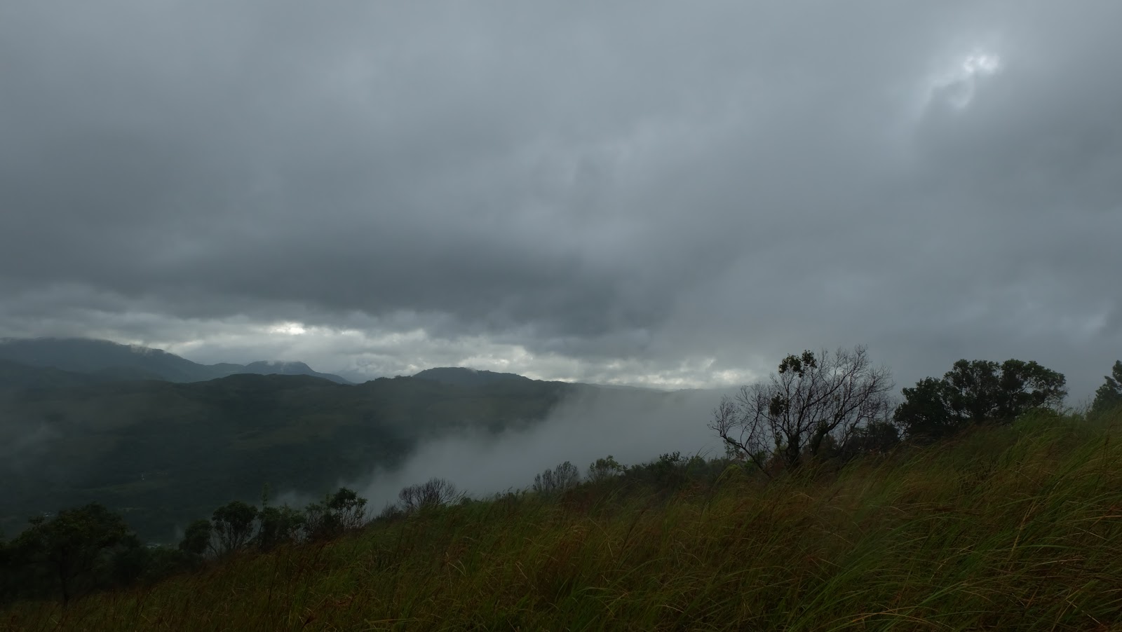
First of all, I would like to thank all the tour guides in Daraitan, Tanay, Rizal for their commendable patience and perseverance in assisting all tourists in exploring this humble and amazing place. I admit that I underestimated it once and if not for the encouragement of a friend of mine I wouldn't see this place and feel how fascinating it was to be there. Daraitan (
Duh-rayee-tan) is located in Tanay, Rizal, Philippines, approximately 57 kilometers east of Manila and 2 hours travel by land. It is popular for its spectacular landscapes, rivers, hills, heritage church and rock formations. I've heard of Tanay when I was kid when my mother used to go there and she said that it is a beautiful place. I have been to Tanay several times but it was only their heritage church and some other places but not Daraitan. It is unusual to see a place like this just a few hours away from the metropolis. The Agos River which gracefully flows along the "Tinipak" (
tee-nee-puk) white rocks could have witnessed how these massive white limestones were formed! The "Tinipak" (chunked) boulders are everywhere in this hidden paradise, there were portions of them where they resemble into strange things that only our imaginations could tell.

Anyway, my first visit in this place was in June 2014 with some close friends who were persuaded and go curious about it. I remember it was on a wet season when we got there. First thing we did, was to go directly to the Barangay Hall to register and ask for a tour guide to take us to the river. It is an hour or more hike, depends on the pace on how you'll take it when going to the river. We started to walk along a dirt road, at first, it was an easy climb on high rocks and cling to trees which gives me assurance of not tripping down. Yes a walk in the park, I would say but not until we reached the end of the road, with something like these! They say it is the difficult round. If you want to get wet then soak yourself in the river and if you're not prepared for it, hike for a little adventure! But how could we possibly go down that river with that elevation? And with just those little branches to hold onto? Simple...just do a little smooth sliding all the way down to the river and that's it! And which we did! You know I almost fainted after that slid, but it is fun to do something different sometimes, isn't it? We went in to Maytuntong (
may-toon-tong) cave to explore and saw glittering stalactites and a natural pool unfortunately we can't stay in longer for the unpredictable level of water due to weather conditions.
Eight months later, I went back to Daraitan with some friends who were brave enough to take the challenge and experience this unforgettable adventure! There were some changes in just a short period of time, the inclined limestone where we slid is now obstructed by a wooden fence and an improvised ladder is linked to the boulder beside it. I think a lot of tourists would benefit from it to minimize untoward incidents and that the local government should only implement safety measures in the said place.
We're going to camp on the other side of the river so we must cross over to get there, but if you want to stay dry, you have to cross that bridge atop that huge rock!
And how? By doing this. At least you won't get wet. I haven't tried doing something like this, I was a little hesitant but I don't want to get soaked.
We camped out and had lunch and rested for a while and off we went to the cave! It was my second time to explore this cave, and I must get to the end of it and take a dip in the natural pool which I haven't done during my first attempt. Maytuntong cave is an underground hollow teeming with glittering stalactites, its jagged wet ground makes it more exciting to explore. The mouth of the cave lies vertically on the ground, it is not the usual kind of caves that we always thought of, like I did. So in order for us to get in, we have to crouch and descend, stepping on rocks which serves as ladder.

Honestly speaking, I am scared of caves not with exploring it, but with those creepy crawlers and the eerie sounds that it makes. The good thing with it, is you get to know and feel what is underneath the earth's surface. Maytuntong cave has a distance of approximately a kilometer or less from its mouth, flowing water rushes in between the creases of the ground thus producing strange sounds. And thank God no bats this time. Please do not forget to bring headlamp or flashlights to lighten your way.
As soon as we move deeper into it, we've seen the magnificent display of stalactites which glitters on the walls and I can't say anything but be amazed and wonder how and when these things were formed.
The first time I went into this cave I only brought my digital camera, its flash isn't enough to capture this beautiful stalactites. So I decided to come again and bring a bigger camera so as to keep this amazing phenomenon.
I never thought that there are several of them on the ceiling and walls. I just hope that tourists who come and explore this cave should know all the necessary precautions so as to protect the cave. This type of rock formations are very sensitive to human touch due the skin oil which ceases the growth of it, so we have to be very careful.
Well another challenge we have to face was to take a dip into the natural pool at the end of the tunnel. There is a natural pool which is waist-deep and very cold. Again, an experience to go and try something different again, good thing I was with a group of adventurous young people so I was challenged to take a dip! And it feels so good! And I jumped for joy!
Oh well, time to move back and go to the campsite and prepare for our departure. We have a lot of walking to do to go back to the village proper so we must pack things up and walk along the river and over and under those huge karst. It was not easy to walk on it, the edges are sharp and it might cause injury. So it is best to wear proper shoes and attire to avoid being hurt.
Before I end I have to say, that before we underrate a place, we have to see and explore it for ourselves, like what I've thought about this place once. Sometimes places that we don't consider, often ends up to be the most memorable and charming ones especially when we're with a group of people who were braved enough to face the challenge with you no matter how hard and tiring it would be. The feeling is very rewarding and priceless. Thank you for reading.
By the way,I would to thank some good friends who were kind enough to lend their photos.
How to get there?
1. If you're commuting from Manila, take a jeepney going to Tanay, Rizal. The jeepney terminal is near the MRT EDSA terminal.
2. When you are in Tanay, take another jeepney going to Sampalok, tell the jeepney driver where to get off and ask the locals where to find the terminal.
3. Take a tricycle from Sampalok to Daraitan.
4. Go to the Barangay hall to register as soon as you arrive in Daraitan.